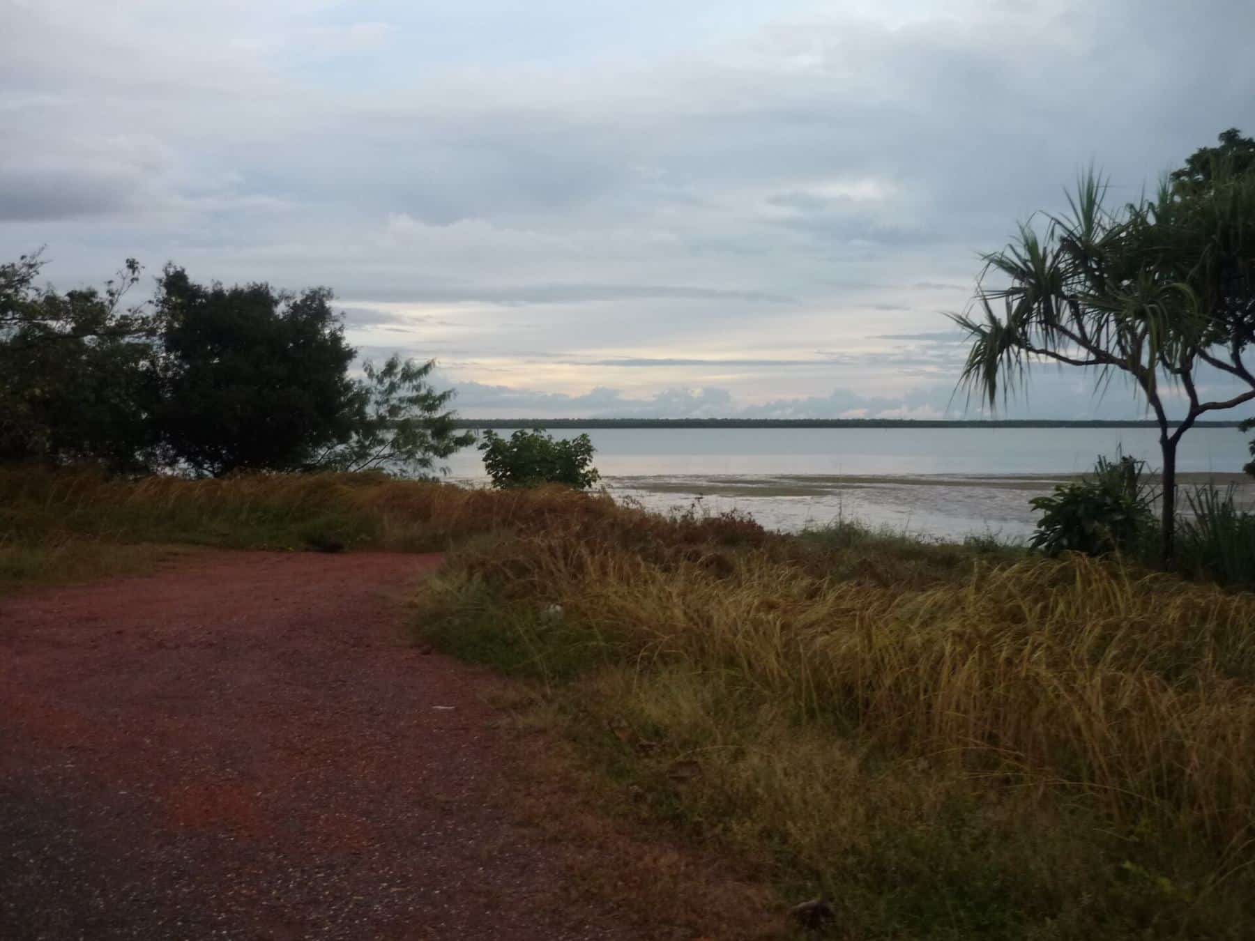
There is something special about fishing at the very top of the continent. At Seisia, on the western side of the Northern Peninsula Area, the land runs out into a maze of islands, reefs and channels leading into the Torres Strait. Tidal currents are strong, the water is often clear, and the fishing can range from the jetty to the open water between the islands.
Seisia is also a long way from anywhere. Reaching it by road means driving the length of the Peninsula and crossing the Jardine River, and the community is small. This guide covers the geography, the fishing, the rules that apply in Torres Strait waters, and the practical and cultural things every visitor should know.
About Seisia and the Northern Peninsula Area
Seisia is a coastal town and locality in the Northern Peninsula Area Region. At the 2021 census it had 293 residents. Wikipedia describes it as the most northerly mainland community in Queensland, with a harbour used by supply vessels and by passenger and vehicle ferries. Regular ferry services link Seisia to Thursday Island, the largest town in the Torres Strait, in about 90 minutes one way.
293
Seisia population
2021 census
~40 km
Bamaga to the tip
Northern Peninsula Area
90 min
Ferry to Thursday Island
One way
Seisia was formerly known as Red Island Point, and is also known as Ithangee in its Aboriginal language. The community lies within a Deed of Grant in Trust area granted in 1986. Nearby Bamaga, about 40 km from the northern tip of Cape York, is the administrative centre for the Northern Peninsula Area Regional Council. Bamaga was established after the Second World War by people from Saibai Island in the Torres Strait, after their island was devastated by abnormally high tides, and it is named after the Saibai elder Bamaga Ginau. The Northern Peninsula Area also includes the Aboriginal communities of Injinoo, Umagico and New Mapoon.
This is the country of Aboriginal and Torres Strait Islander peoples, with living cultures and strong connections to land and sea. Visitors are guests. Respect local rules, closed areas and cultural sites.
Fishing around Seisia
The jetty
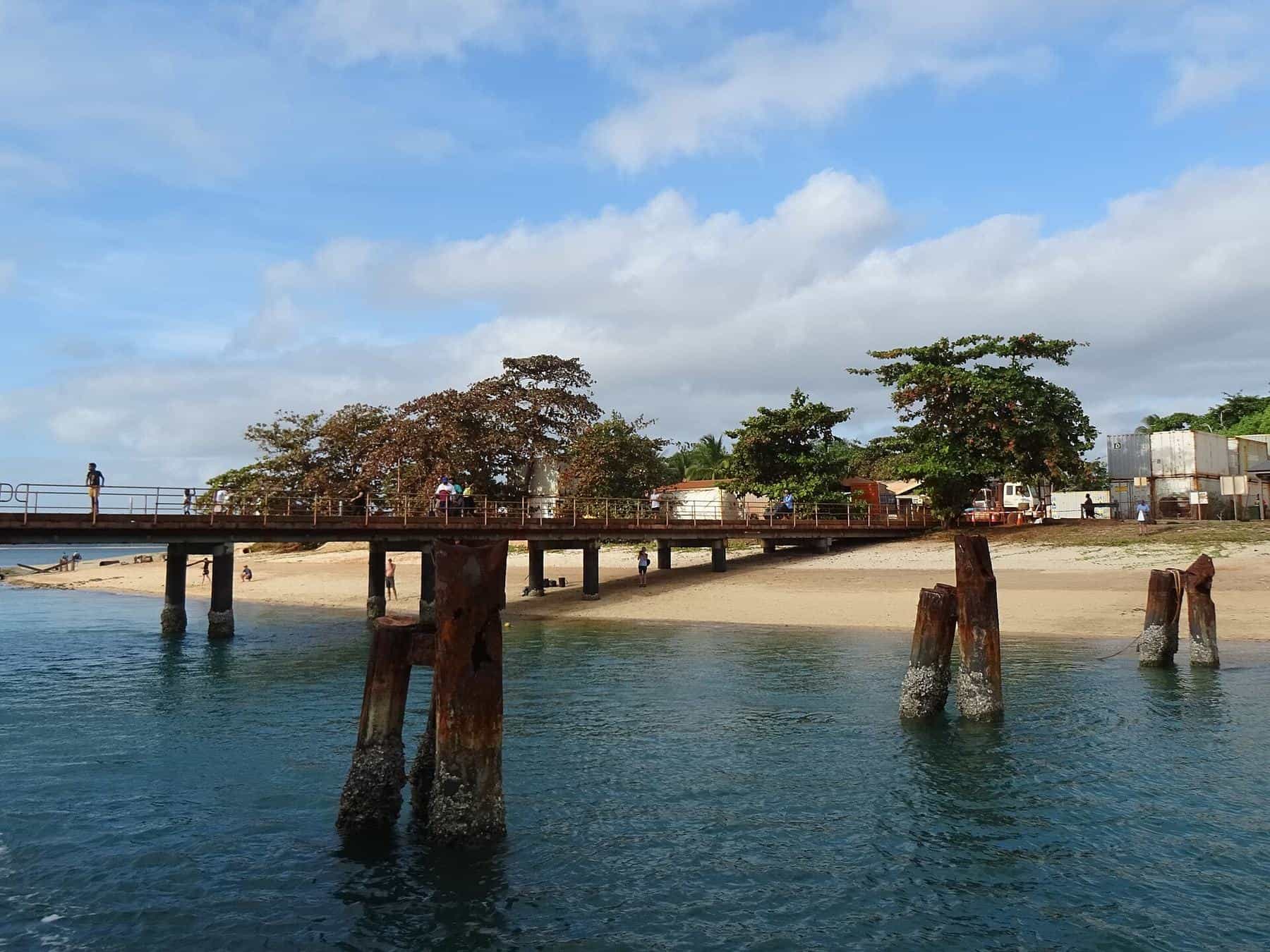
The Seisia jetty is one of the best-known land-based fishing spots on the Cape. Fishing from a jetty keeps you elevated and away from the water's edge, but the Queensland Government still advises keeping your arms, legs and head away from the edge of jetties and pontoons in crocodile country. Follow any local signs about fishing areas and times, and give way to vessels and ferry operations.
Boat fishing among the islands
With a suitable boat, the islands, reefs and channels west and north of Seisia offer a variety of fishing. Strong tidal currents run through the channels, and conditions can change quickly with wind against tide. This is water for experienced boaters with good local knowledge, or for a local charter.
Pelagics
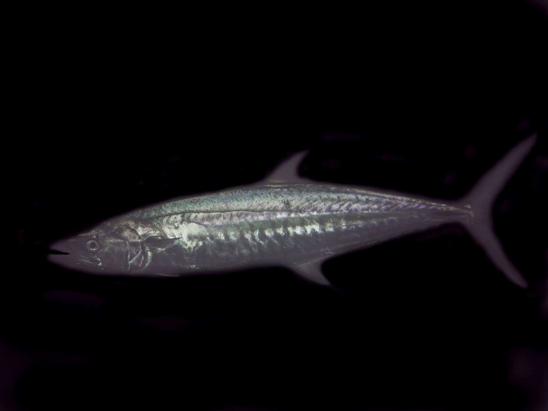
The clear waters and strong currents around the tip can attract pelagic species such as Spanish mackerel, queenfish and trevally. See our Spanish mackerel and pelagics guide.
The Jardine River
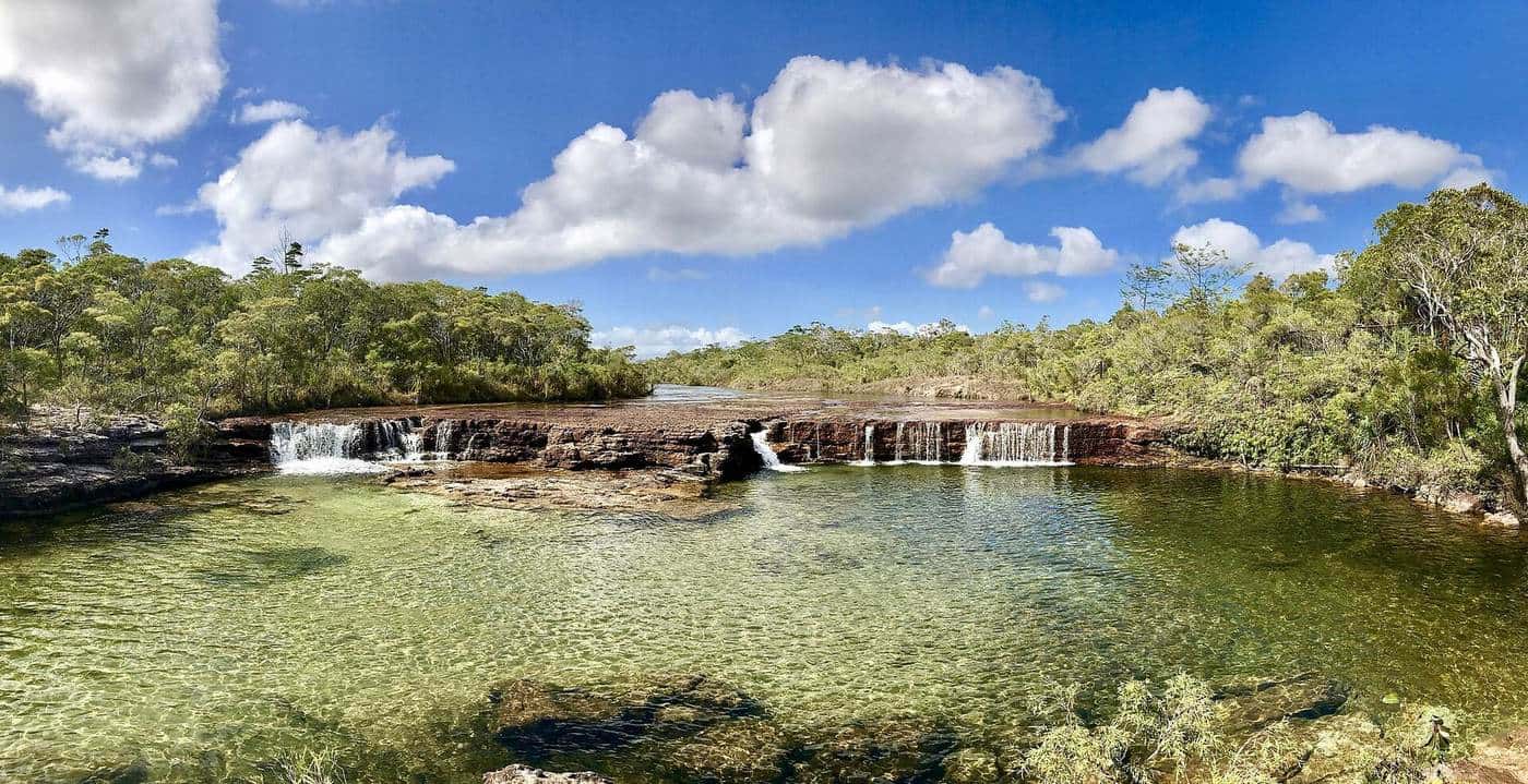
South of Bamaga, the Jardine River is the largest river on Cape York Peninsula. Unlike most rivers in tropical northern Australia, it flows all year round because its catchment receives enough rain throughout the year. Its catchment covers about 3,282 square kilometres of mostly uninhabited country, including extensive freshwater wetlands, and it flows into Endeavour Strait opposite Prince of Wales Island.
According to Wikipedia, 46 species of fish have been recorded in the river, including barramundi, oxeye herring, barred grunter and seven-spot archerfish. Travellers heading to the tip by road must cross the Jardine, and the crossing arrangements are managed locally, so check current details before you travel. Crocodiles are present in the river, and swimming is dangerous.
Read more about the region's rivers in our rivers of the western Cape guide.
Rules in Torres Strait waters
Fishing in the Torres Strait is shaped by the Torres Strait Treaty between Australia and Papua New Guinea, which created the Torres Strait Protected Zone. The Protected Zone Joint Authority (PZJA) manages commercial fisheries in the Protected Zone. According to the PZJA, recreational fishing, including charter fishing, is still managed by Queensland. That means Queensland's recreational size and possession limits, closed seasons and protected species rules apply to visiting anglers.
Traditional fishing by Torres Strait Islanders and Aboriginal people is separate and is recognised under the Treaty. Some areas may also have specific local rules. Check the current Queensland rules before you fish and respect any local closures.
Getting there
Most visitors drive to the tip during the dry season, a long journey on roads with unsealed sections and river crossings. Others fly into the Northern Peninsula Airport near Bamaga, which sits on Urradhi traditional land. Seisia's ferries connect to Thursday Island and other Torres Strait communities. Read our getting to Cape York guide for more.
Permits and permission
The Northern Peninsula Area is Aboriginal and Torres Strait Islander land. Camping and access to some areas require permits or permission, and alcohol restrictions apply in some communities. Before you travel, check current requirements with the Northern Peninsula Area Regional Council and relevant Traditional Owner organisations. National parks in the area, such as Jardine River National Park, have their own camping permits.
Tips for visiting anglers
- Bring what you need. Services are limited and supplies are expensive.
- Respect the community. Ask before fishing near homes or community areas, and follow local rules.
- Plan around the tides. Strong currents run through the channels.
- Watch the weather. Wind against tide creates rough, dangerous seas.
- Carry safety gear, including an EPIRB or PLB, and tell someone your plans.
Tip trip checklist
0 of 7 done
Ticks are saved in this browser only.
Beyond fishing
Many visitors to the tip also walk to the northernmost point of the Australian mainland, visit historic sites around the Northern Peninsula Area, and take the ferry to Thursday Island. Combining fishing with these experiences makes the long journey even more worthwhile.
Related guides
See the rivers of the western Cape, and before you travel read getting to Cape York.
Frequently asked questions
Where is Seisia?
Seisia is a coastal community in the Northern Peninsula Area Region, west of Bamaga near the tip of Cape York. Wikipedia describes it as the most northerly mainland community in Queensland.
Can you fish from the Seisia jetty?
The jetty is a well-known land-based fishing spot. Follow any local rules and signs, keep well back from the edge and keep arms and legs away from the water, as crocodiles are present.
Do Queensland fishing rules apply in the Torres Strait?
Yes, for recreational fishers. The Protected Zone Joint Authority manages commercial fisheries in the Torres Strait Protected Zone, but recreational and charter fishing are managed by Queensland.
How do you get to Seisia?
By road via the Peninsula and the Northern Peninsula Area, which involves crossing the Jardine River, or by air to the Northern Peninsula Airport near Bamaga. Seisia also has ferry links to Thursday Island.
How long is the ferry from Seisia to Thursday Island?
Wikipedia says regular ferry services link Seisia and Thursday Island, taking about 90 minutes one way. Check current timetables with the operator.
Do I need permission to camp or fish near the tip?
The Northern Peninsula Area is Aboriginal and Torres Strait Islander land. Camping and access may require permits, so check with the local council and Traditional Owners before you travel.
Sources and further reading
Facts on this page were checked against these primary and official sources. Conditions change — confirm before you travel or buy.
- Seisia, Queensland — Wikipedia
- Bamaga — Wikipedia
- Jardine River — Wikipedia
- Objectives and functions — Protected Zone Joint Authority
- Fishing in crocodile habitat areas — Queensland Government