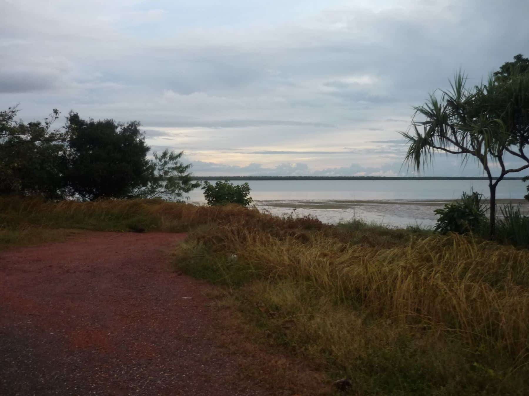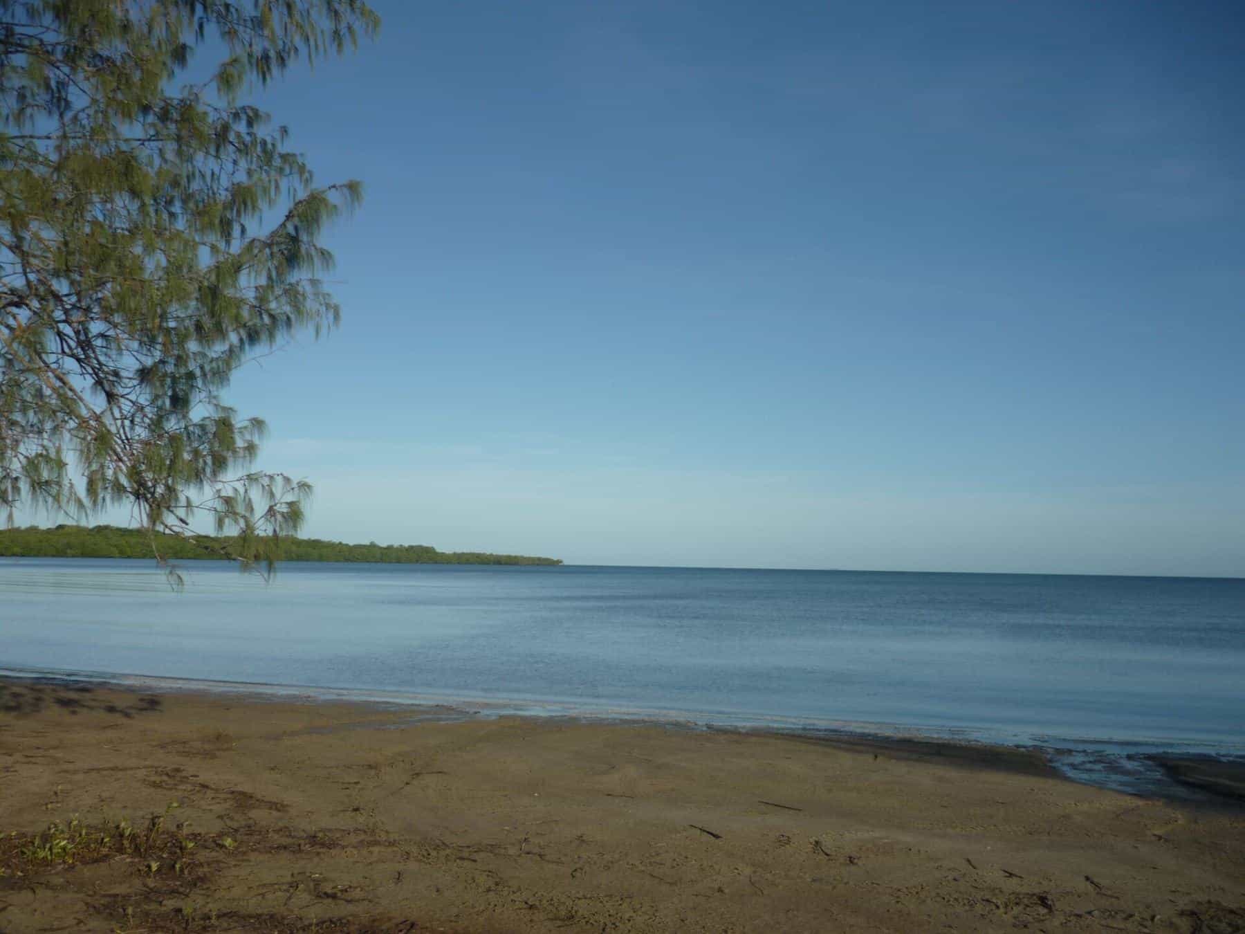
For many anglers, Weipa is Cape York fishing. It is the largest town on the Peninsula, with fuel, a supermarket, accommodation, a boat ramp and an airport, and it sits at the edge of a huge network of tidal rivers, creeks, flats and bays on the Gulf of Carpentaria. You can be fishing mangrove-lined snags within minutes of the ramp, and the town makes a comfortable base for a week or more on the water.
This guide covers the geography, the kinds of fishing Weipa offers, the seasons, the town's facilities and the rules and safety precautions that apply. We do not publish GPS marks or name "secret" spots. Local tackle shops and guides are the best source of up-to-date advice on where fish are biting.
About Weipa
Weipa is a coastal mining town in the local government area of Weipa Town. It exists because of enormous bauxite deposits along the coast, and the Port of Weipa mainly exports bauxite. At the 2021 census the town had 4,097 residents. Weipa is made up of the residential suburbs of Rocky Point, Trunding and Nanum, the industrial suburb of Evans Landing and, separately, the airport.
4,097
Population
2021 census
3 rivers
Into Albatross Bay
Mission, Embley, Hey
571 km
From Lakeland
Peninsula Developmental Road
A long history
The western shore of Cape York has a remarkable place in Australian history. In 1606, the Dutch navigator Willem Janszoon landed near the site of present-day Weipa, in the first recorded European landing in Australia. The area had of course been home to Aboriginal peoples for tens of thousands of years.
In 1895, the Presbyterian missionary Nicholas John Hey established a mission at the junction of the Embley River and Spring Creek, which he called Weipa, a name believed to come from an Anhathangayth word meaning "fighting ground". In 1955, the geologist Henry Evans recognised that the red cliffs along the coast were enormous bauxite deposits. The modern town was built mainly by Comalco, now Rio Tinto, which began trial shipments of bauxite in 1962. That history, including the removal of Aboriginal reserve status for mining, remains significant for the region's Traditional Owners and communities.
The water: Albatross Bay and its rivers
Weipa faces Albatross Bay, on the eastern shore of the Gulf of Carpentaria. Three rivers flow into the bay:
- The Mission River, north of town, crossed by a long bridge on the road to Mapoon.
- The Embley River, which runs past Evans Landing and Napranum.
- The Hey River, which joins near the Embley.
Together with their many creeks and drains, these rivers create a large, sheltered system of tidal water lined with mangroves, mud banks, rock bars and sand flats. Beyond the river mouths, the bay and the open Gulf offer inshore reefs, wrecks and open water.
Fishing around Weipa
River and creek fishing
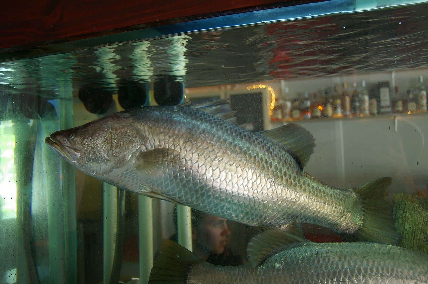
The rivers and creeks are where most visiting anglers start. Snags, drains, mangrove edges and rock bars hold barramundi, mangrove jack and other predators, often around the change of tide. Casting lures at structure from a boat is a popular approach, as is trolling deeper holes and bars. Read our barramundi guide and mangrove jack and fingermark guide.
Bay and inshore fishing
On calmer days, the bay's inshore reefs, rubble patches and wrecks hold fingermark, trevally, queenfish and mackerel. Bait schools are a good sign of pelagic activity. Watch the weather closely: wind against tide can make the bay rough quickly.
Land-based fishing
There is some land-based fishing around Weipa, but in crocodile country it must be done from safe, elevated positions, well back from the water's edge. The Queensland Government advises staying at least 5 metres from the water's edge and never standing on logs or branches overhanging the water.
Seasons and weather
Wikipedia's climate summary describes Weipa as having a tropical savanna climate with three seasons:
- Wet season, January to April: high humidity, warm nights, heavy downpours and occasional monsoonal lows and tropical cyclones.
- Dry season, May to September: hot, dry days, cooler nights and little rain.
- Build-up, October to December: oppressively hot and humid, with frequent days over 35°C and infrequent heavy thunderstorms.
Average maximum temperatures range from about 31°C in July to about 36°C in November, and average annual rainfall is close to 2,000 mm.
Most visiting anglers come during the dry season, when roads are open. Note that the Gulf of Carpentaria barramundi closed season runs from 7 October to 31 January, and possession of barramundi on a boat in Gulf waters is prohibited from 17 October to 31 January. Use our season checker to plan your dates.
Facilities in town
Weipa is well serviced for a remote town. According to Wikipedia, the shopping precinct at Nanum has a Woolworths supermarket, bakery, post office, newsagency and sports shop, butcher, chemist and a camping and fishing store. There is a range of accommodation, and Weipa has its own airport.
Prices are higher than in southern cities, and stock of specialised tackle can be limited, so bring spare lures, leaders and terminal tackle. The town hosts community events including the Weipa Fishing Classic.
Getting there
By road, Weipa is reached via the Peninsula Developmental Road, which runs 571 km from Lakeland. As of 2022, about 200 km was unsealed, with mud, sand, dust and corrugations depending on the weather. The final 43 km into Weipa is within the Rio Tinto mine lease. Many roads on the Peninsula close during the wet season. See our getting to Cape York guide.
Safety and rules
- Follow Queensland's size and possession limits, closed seasons and no-take rules. See fishing rules and closed seasons.
- Respect access rules on Aboriginal land and private property around Weipa, Napranum and Mapoon.
- Carry boating safety gear and a PLB or EPIRB, and check the forecast.
- Avoid kayaks and other small craft in crocodile habitat, as the Queensland Government advises.
Weipa trip checklist
0 of 7 done
Ticks are saved in this browser only.
Related guides
Read about barramundi, explore the rivers of the western Cape and review crocodile safety for anglers.
Frequently asked questions
Where is Weipa?
Weipa is a coastal mining town on the western side of Cape York Peninsula, on the Gulf of Carpentaria. It sits beside Albatross Bay, which is fed by the Mission, Embley and Hey rivers.
When is the best time to fish Weipa?
Many anglers visit in the dry season, which Wikipedia's climate summary for Weipa gives as May to September, when roads are open. The Gulf barramundi closed season runs from 7 October to 31 January.
Can you drive to Weipa?
Yes. The Peninsula Developmental Road runs 571 km from Lakeland to Weipa. Around 200 km was unsealed as of 2022, and conditions vary with the weather. Weipa also has an airport.
Are there crocodiles at Weipa?
Yes. Estuarine crocodiles live in the rivers, creeks and sea around Weipa. Never stand in the water to fish, stay at least 5 m back from the edge and never clean fish at the boat ramp.
Can I buy fishing tackle in Weipa?
Weipa has a shopping precinct at Nanum, including a camping and fishing store. Range and stock can be limited, so bring spares of essential tackle.
What fish can you catch at Weipa?
Common targets include barramundi, mangrove jack, fingermark, threadfin salmon, queenfish, trevally and mackerel, depending on the season and where you fish.
Sources and further reading
Facts on this page were checked against these primary and official sources. Conditions change — confirm before you travel or buy.
- Weipa, Queensland — Wikipedia
- Albatross Bay — Wikipedia
- Peninsula Developmental Road — Wikipedia
- Closed seasons in tidal waters — Department of Primary Industries, Queensland
- Fishing in crocodile habitat areas — Queensland Government