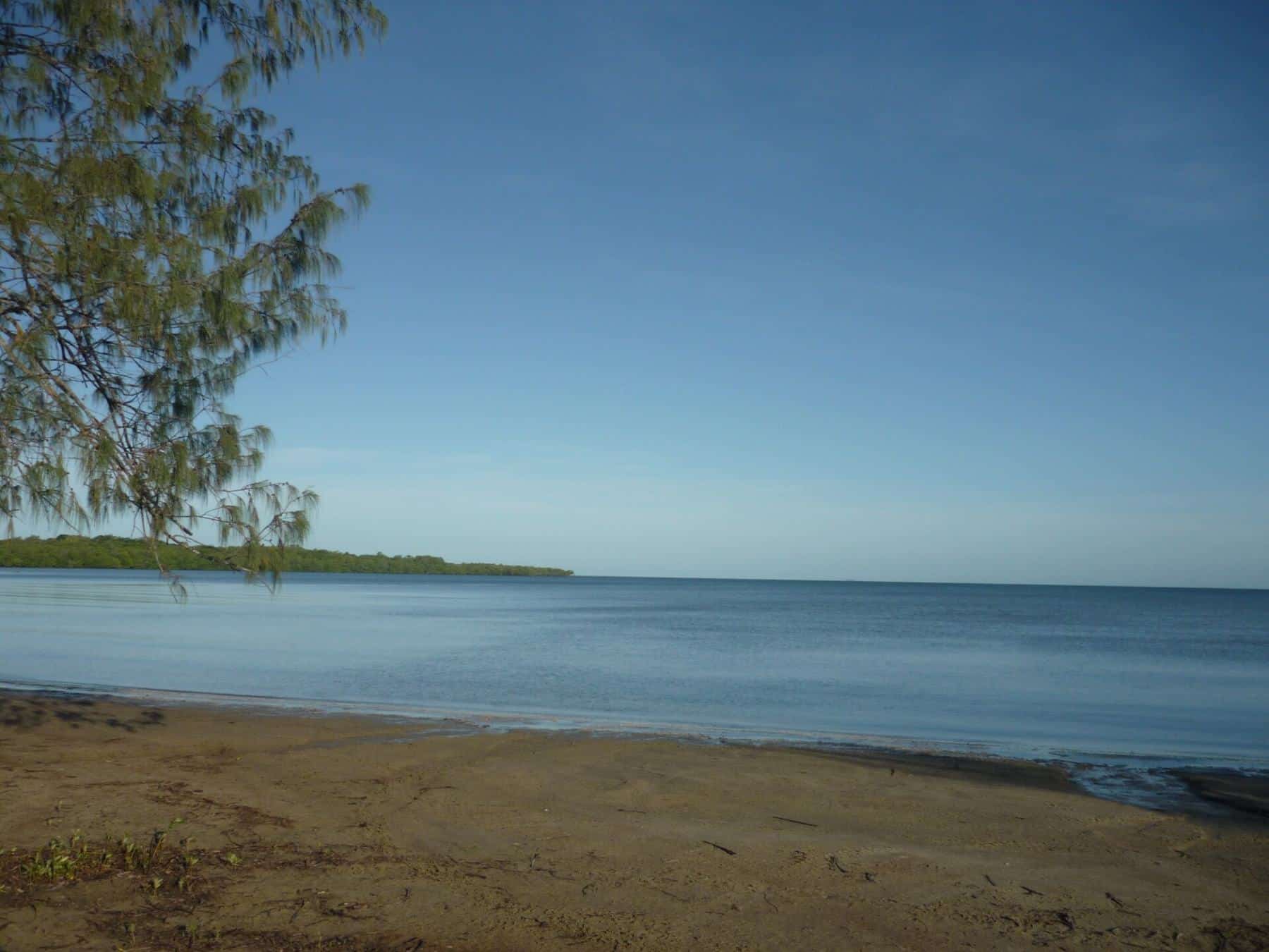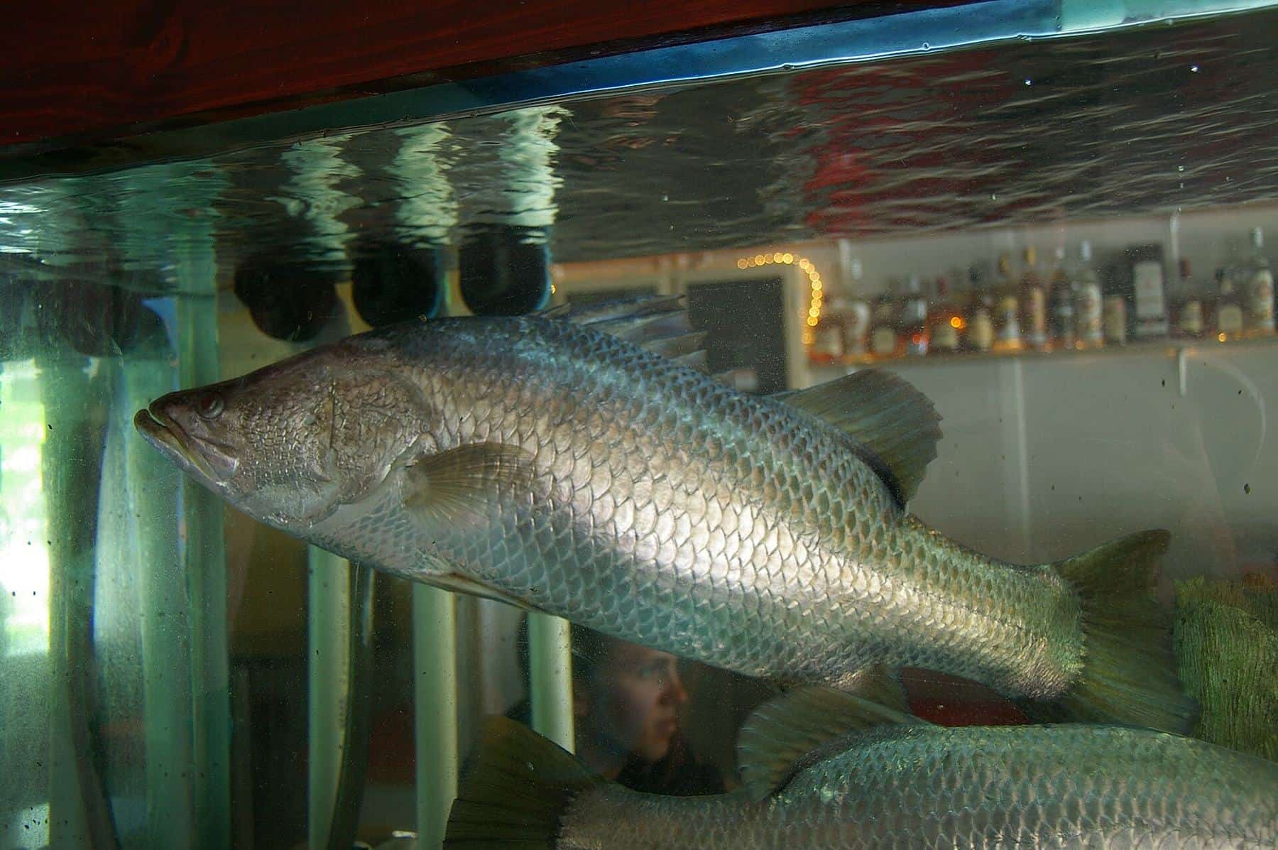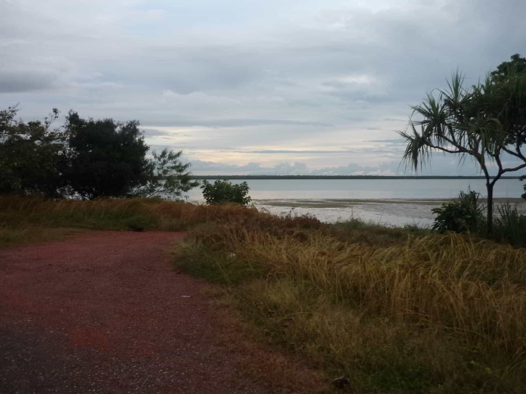
The western side of Cape York is river country. A series of long, slow tidal rivers wind west across savanna and wetlands to the Gulf of Carpentaria, fringed by mangroves and lined with mud banks and snags. For anglers, these rivers are the heart of Cape York fishing: home to barramundi, mangrove jack, threadfin salmon, queenfish and more, in country that sees relatively few people.
They are also remote, tidal, seasonal and full of crocodiles. This guide introduces the main rivers, explains how the seasons shape them, and covers access, rules and safety.
How western Cape rivers work
Western Cape rivers are shaped by two forces: the tides of the Gulf and the monsoon. In the wet season, roughly November to April, heavy rain falls across the Peninsula. Rivers rise and flood, spilling into vast wetlands, and many roads become impassable. As the dry season sets in, the floods recede, the water clears and the rivers settle into a tidal rhythm.
These seasonal changes shape fish behaviour. Barramundi, for example, migrate downstream to estuaries to spawn. Wikipedia notes that, at the start of the monsoon, males move downriver to meet females in estuaries and tidal flats. That is one reason barramundi closed seasons cover the spawning period.
13,820 km²
Archer catchment
One of the largest on the Cape
3
Rivers into Albatross Bay
Mission, Embley, Hey
45–46
Fish species recorded
Archer and Jardine rivers
The rivers
Embley, Mission and Hey rivers (Weipa)
Three rivers flow into Albatross Bay at Weipa: the Mission, the Embley and the Hey. The Mission River runs about 37 km from the confluence of Myall Creek and another minor creek to Albatross Bay near Oxmurra Point, with a catchment of 2,697 square kilometres, including 247 square kilometres of estuarine wetlands. The Embley is the bigger, busier river, passing the port and bauxite operations. With Weipa's boat ramps and services nearby, these rivers are the most accessible on the western Cape. See our Weipa guide.
Pennefather River
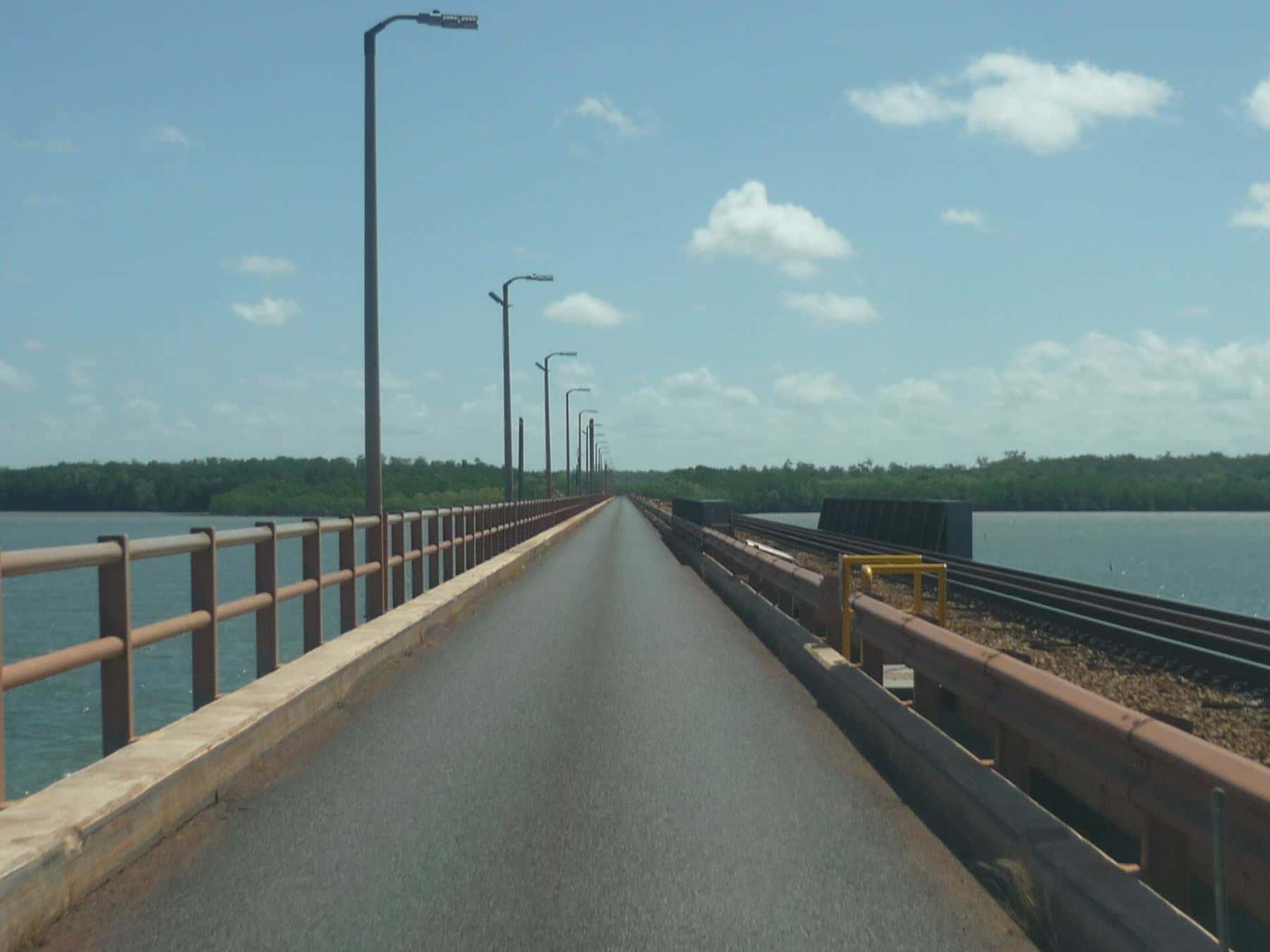
North of Weipa, the Pennefather River empties into the Gulf south of Mapoon. It is short but wide, about 11 km long and up to about 2 km across at its widest, and it descends just 1 metre over its course. Its catchment of 3,009 square kilometres includes extensive estuarine wetlands. The river mouth is the site of the first recorded European landfall in Australia, by Dutch explorer Willem Janszoon in 1606. Access is via Mapoon, an Aboriginal community, and permission is required for some areas.
Archer River
South of Weipa, the Archer River rises in the McIlwraith Range and flows west across tropical savanna and wetlands, through Oyala Thumotang National Park, to Archer Bay near Aurukun. With a catchment of 13,820 square kilometres, it is one of the major rivers of the Peninsula. During the wet season, from November to April, it floods, replenishing more than a million hectares of wetlands.
The Archer remains largely undeveloped. It was declared under Queensland's Wild Rivers Act in 2009, according to Wikipedia. A total of 45 fish species have been recorded in it, including barramundi, oxeye herring, gulf saratoga, barred grunter and seven-spot archerfish. Access to the lower river is through Aboriginal land around Aurukun and requires permission. The Peninsula Developmental Road crosses the river upstream.
Jardine River
In the far north, the Jardine River is the largest river on Cape York Peninsula and, unusually for northern Australia, flows all year round. Forty-six fish species have been recorded in it, including barramundi. See our Seisia and the tip guide.
Fishing the rivers
Where fish hold
Predatory fish in tidal rivers hold around structure and food. Look for:
- Snags - fallen trees and timber, especially in deeper water.
- Rock bars - where they exist, they concentrate fish.
- Creek mouths - especially on a falling tide as water drains out of the mangroves.
- Deep bends and holes - where fish shelter from the current.
- Mud flats and drains - where baitfish and prawns gather.
Tides
Tides drive these rivers. Many anglers focus on the run-out tide at creek mouths and drains, and the change of tide around snags. Big tides can make fishing harder and navigation more difficult. Learn to read the water, and keep an eye on the depth: being stranded by a falling tide in croc country is dangerous.
Target species
- Barramundi
- Mangrove jack and fingermark
- Threadfin salmon, queenfish and trevally
Rules on the western Cape
Western Cape rivers flow into the Gulf of Carpentaria, so Gulf rules apply. Key points:
- The Gulf barramundi closed season runs from 7 October to 1 February, and possession of barramundi on a boat is prohibited from 17 October to 1 February.
- Barramundi must be between 58 cm and 120 cm to keep, with a possession limit of 5 per person.
- Possession limits include fish in your freezer, not just fish caught today.
- Some areas are closed to fishing, or subject to permits or Traditional Owner rules.
See our fishing rules and closed seasons guide, and use the season checker on our home page.
Safety in remote river country
Crocodiles
Every river on the western Cape is estuarine crocodile habitat, and large crocodiles are common. The Queensland Government advises:
- Stay at least 5 m back from the water's edge.
- Never stand in water to cast or retrieve a lure.
- Keep your arms and legs inside the boat.
- Don't clean fish near the water, and dispose of scraps properly.
- Avoid small boats and kayaks.
See crocodile safety for anglers.
Boating
- Use a suitable boat, ideally a solid tinny or larger, with a reliable engine.
- Carry an EPIRB or PLB, plenty of fuel, water and a spare propeller.
- Tell someone where you are going and when you expect to return.
- Watch the tide, and don't get stranded on mud banks.
Remote travel
The western Cape is remote, with long distances between towns and limited services. Most roads are unsealed, and many close in the wet season. See getting to Cape York.
River trip checklist
0 of 7 done
Ticks are saved in this browser only.
Respecting the rivers
These rivers are among the least developed in Australia. Leave no rubbish, including fishing line and bait bags, keep only the fish you need, and avoid disturbing wildlife and cultural sites along the banks.
Key points
Western Cape rivers in brief: Gulf rules apply, including the barramundi closure from 7 October; access often crosses Aboriginal land and needs permission; tides and wet-season floods shape the fishing and the roads; and every river holds crocodiles. Pick a base such as Weipa for easy access, plan around tides, and carry everything you need for remote boating.
Related guides
Start with Weipa, and read our barramundi guide.
Frequently asked questions
Which rivers flow into Albatross Bay at Weipa?
Three rivers flow into Albatross Bay - the Mission, Embley and Hey rivers.
Is the Archer River protected?
The Archer River was declared under Queensland's Wild Rivers Act in 2009, according to Wikipedia. It remains largely undeveloped, with a catchment of 13,820 square kilometres.
When do western Cape rivers flood?
In the wet season, roughly November to April, heavy rain floods rivers like the Archer, replenishing large areas of wetlands. Many roads close during this time.
Can I fish on Aboriginal land on the western Cape?
Much of the western Cape is Aboriginal land. Access, camping and fishing may require permission or permits from the relevant land trust, council or Traditional Owner corporation. Always check before you go.
Which Gulf rules apply?
Western Cape rivers flow into the Gulf of Carpentaria, so Gulf rules apply, including the Gulf barramundi closed season from 7 October to 1 February. Check the current rules before every trip.
Sources and further reading
Facts on this page were checked against these primary and official sources. Conditions change — confirm before you travel or buy.
- Archer River — Wikipedia
- Pennefather River — Wikipedia
- Mission River (Queensland) — Wikipedia
- Albatross Bay — Wikipedia
- Jardine River — Wikipedia
- Fishing in crocodile habitat areas — Queensland Government