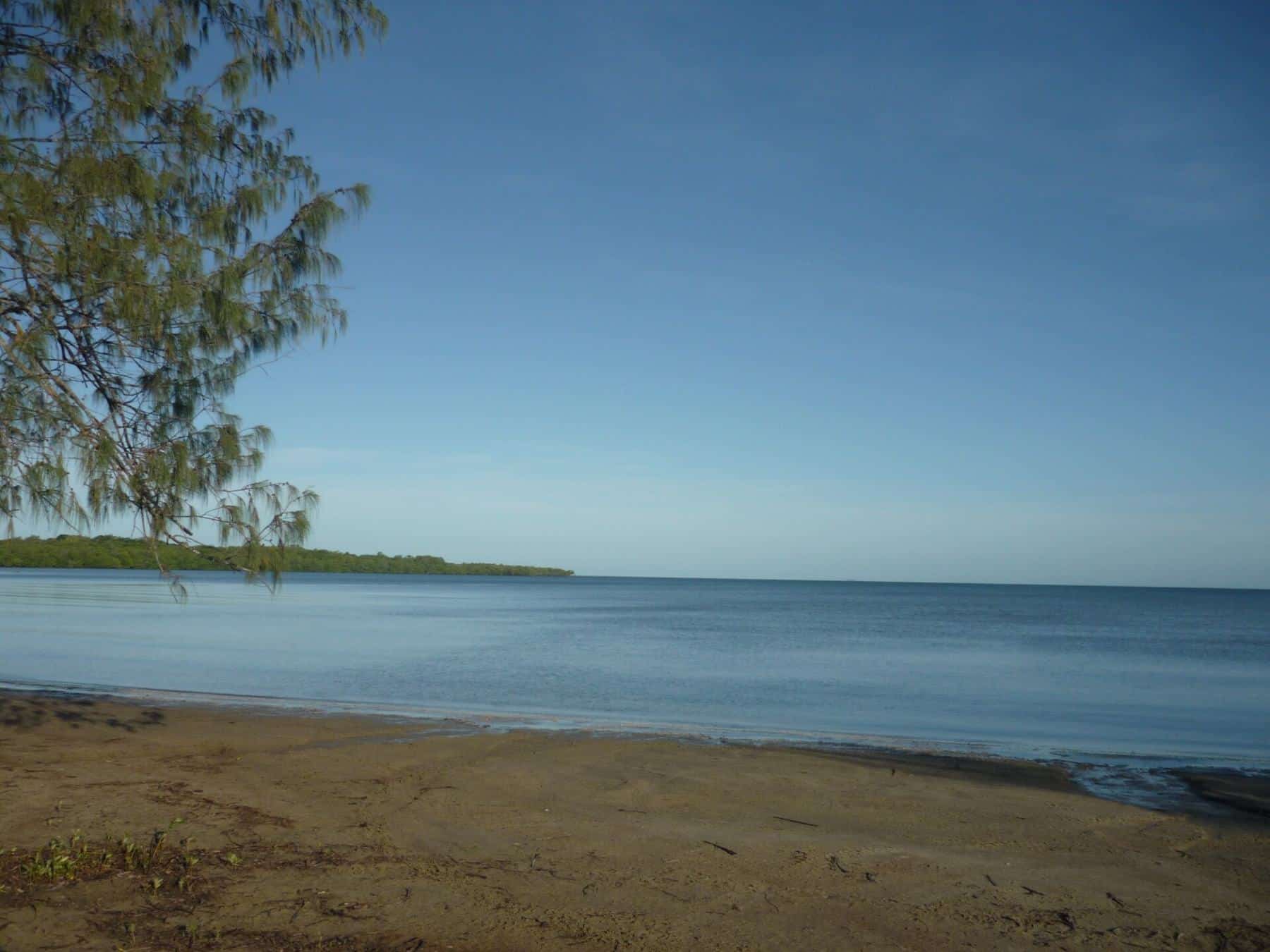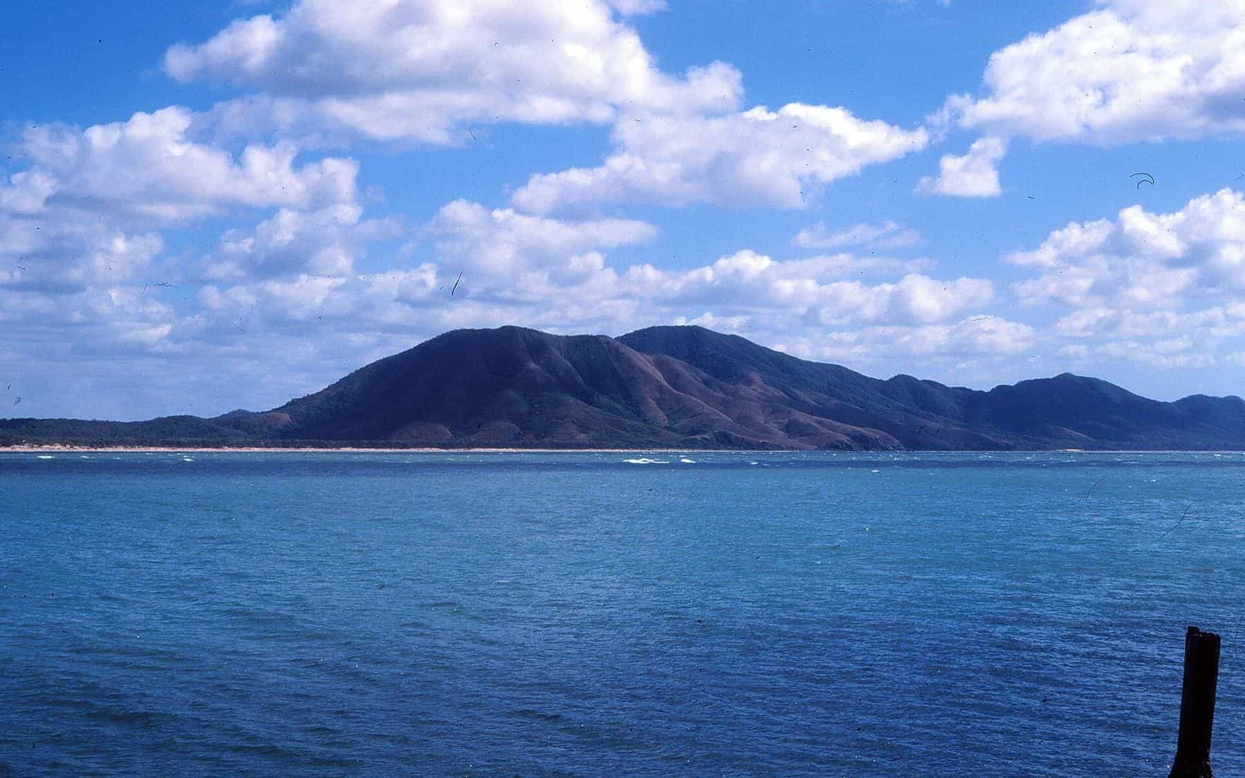
Cooktown is the gateway to the east coast of Cape York. It sits at the mouth of the Endeavour River, where a sheltered estuary opens into the Coral Sea, with Mount Cook rising behind the town and the Great Barrier Reef offshore. It is a place with a deep history, from Guugu Yimithirr country and the 1770 landing of the Endeavour to the Palmer River gold rush, and it is a popular base for anglers exploring the river, the coast and the reef.
This guide covers the town and the river, the kinds of fishing available, the rules that matter most on the east coast, and how to fish safely in crocodile country.
About Cooktown
2,746
Cooktown population
2021 census
1873
Town founded
Port for the Palmer goldfields
431 m
Mount Cook
Behind the town
Cooktown is a coastal town and locality in the Shire of Cook. It lies on the traditional country of the Guugu Yimithirr people, whose language region includes the Cooktown area and Hope Vale. In June 1770, the Guugu Yimithirr people watched as James Cook's damaged ship, HM Bark Endeavour, limped up the coast after striking Endeavour Reef and was beached near the mouth of the river. The crew spent about seven weeks there repairing the ship. Cook named the river after his ship.
The modern town was founded on 25 October 1873 as a supply port for the Palmer River goldfields, about 200 km inland. During the gold rush Cooktown grew rapidly, including a large Chinese community that played an important role in the town and the goldfields. Today it is a regional centre with services, accommodation, a boat ramp and a strong fishing culture.
The Endeavour River
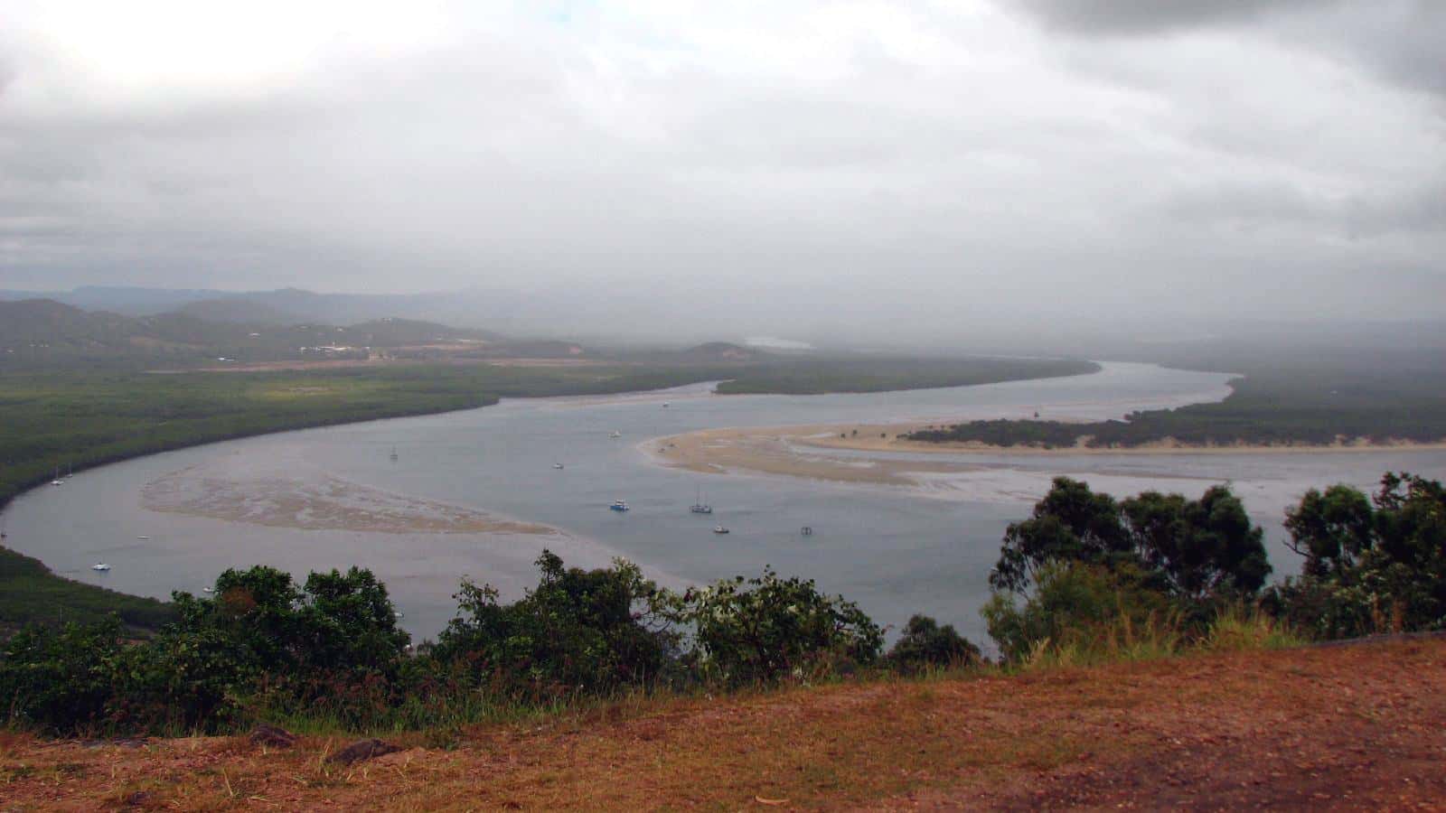
The Endeavour River is formed by the joining of its North and South Branches, with a Right Branch joining northwest of Cooktown. It flows east to the Coral Sea at Cooktown, passing through Endeavour River National Park for the last few kilometres of its course. Its Guugu Yimithirr name is Wabalumbaal.
The estuary has mangrove-lined banks, creeks, sand and mud flats and channels that change with the tides. These are classic habitats for estuarine species. Anglers commonly target:
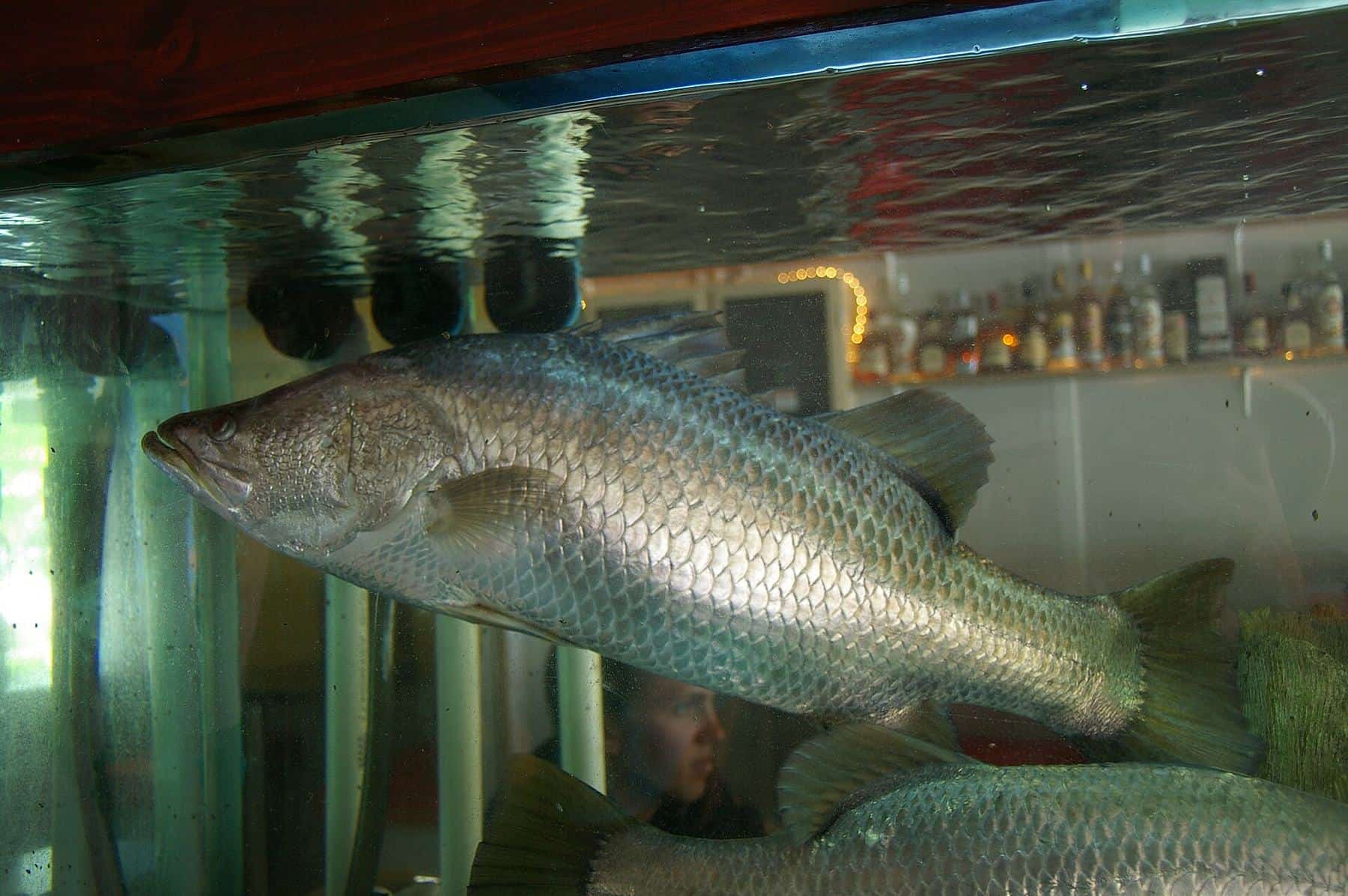
- Barramundi, in the river, creeks and around snags, outside the closed season. See our barramundi guide.
- Mangrove jack and fingermark, around snags, rock bars and deeper holes. See our mangrove jack and fingermark guide.
- Queenfish and trevally, around the river mouth and along the coast.
Fishing is generally best around tide changes, but the timing varies by location and species. Local tackle stores and boat ramps are useful sources of up-to-date information.
Land-based fishing
There are some land-based options around town, including the wharf area. Choose elevated spots well back from the water's edge. The Queensland Government advises anglers in croc country to stay at least 5 m back from the water's edge, to avoid standing on overhanging logs or branches, and to never stand in water to cast.
Offshore and the reef
From Cooktown, boaters can head along the coast and out towards the reef, conditions permitting. The waters off Cooktown are part of the Great Barrier Reef Marine Park, where zoning determines what activities are allowed. Green zones are marine national park zones where fishing is not allowed. Other zones allow limited fishing with conditions. GBRMPA publishes free zoning maps and an app, and it is your responsibility to know where you are fishing.
Popular offshore targets include coral reef fin fish such as coral trout, and pelagic species such as Spanish mackerel. Queensland's coral reef fin fish rules include a combined possession limit and closures in October and November, and Spanish mackerel on the east coast have their own closed seasons and limits. See fishing rules and closed seasons.
Weather and seasons
Cooktown has a tropical climate with a wet season and a dry season. The dry season months are the most popular time to visit, with more stable weather and better road access. South-easterly trade winds can make offshore conditions rough, particularly in the dry season, so plan around weather windows. The wet season brings heat, humidity, heavy rain and the risk of cyclones.
Crocodiles are more active during the breeding season, from September to April, according to the Queensland Government.
Croc safety on the Endeavour
The Endeavour River and the coast around Cooktown are estuarine crocodile habitat. The key rules:
- Stay at least 5 m back from the water's edge.
- Never stand in water to cast. Use cast nets only from a boat or jetty.
- Reel in fish quickly and move back from the edge.
- Keep a sturdy object, like an esky, between you and the water.
- Put fish frames and scraps in a bin, or take them home. It is an offence to discard food at signed public places.
- Avoid using kayaks and small craft in croc habitat.
Read our full crocodile safety for anglers guide.
Getting to Cooktown
Cooktown is the most accessible part of Cape York, reached by road from Cairns via the Mulligan Highway, or by the inland routes. It has an airport. From Cooktown, travellers continue north to Lakefield (Rinyirru) National Park, Laura and beyond. Check road conditions before you travel, especially early or late in the season.
Visitor tips
- Respect cultural sites and Guugu Yimithirr country.
- Use the marine park maps before every offshore trip.
- Check the weather before heading out of the river mouth.
- Bring a cooler and ice. Keep only what you need, and remember possession limits include fish in your freezer.
Cooktown trip checklist
0 of 6 done
Ticks are saved in this browser only.
More to explore
Cooktown rewards a few extra days. Grassy Hill, above the place where the Endeavour was beached, offers wide views over the river mouth and the reef, and Cook climbed it to plan a safe passage out through the reefs. The town's history, from Guugu Yimithirr country to the gold rush, is a fascinating counterpoint to the fishing.
Key points
Cooktown in brief: a sheltered river estuary for barramundi, jack and queenfish; reef and pelagic fishing offshore inside the Great Barrier Reef Marine Park; east coast closures for barramundi, coral reef fin fish and Spanish mackerel; and crocodiles throughout the river and coast. It is the easiest part of the Cape to reach, with services in town, which makes it a good first trip or a stopover on the way north. Allow time for weather, as trade winds can keep boats in the river for days, and use those days to explore the town's history and lookouts.
Related guides
Read about barramundi, and check fishing rules and closed seasons before you go.
Frequently asked questions
Where is Cooktown?
Cooktown is at the mouth of the Endeavour River, where it enters the Coral Sea on the east coast of Cape York Peninsula in Far North Queensland. It had 2,746 residents at the 2021 census.
Does the Great Barrier Reef Marine Park apply at Cooktown?
Yes. Cooktown is on the Great Barrier Reef coast, so marine park zoning applies offshore and in some coastal waters. Green zones are no-take. Check the zoning maps before you fish.
When is barramundi season closed on the east coast?
The Queensland east coast barramundi closed season runs from 12 noon on 1 November to 12 noon on 1 February. Check the current rules before each trip, as they can change.
Are there crocodiles in the Endeavour River?
Yes. The Endeavour River is within estuarine crocodile habitat. Follow Be Crocwise advice and never stand in the water to cast.
Why is it called the Endeavour River?
James Cook named the river in 1770, after he beached his ship HMS Endeavour in the river mouth for repairs following damage on Endeavour Reef. Its Guugu Yimithirr name is Wabalumbaal.
Sources and further reading
Facts on this page were checked against these primary and official sources. Conditions change — confirm before you travel or buy.
- Cooktown, Queensland — Wikipedia
- Endeavour River — Wikipedia
- Zoning — Great Barrier Reef Marine Park Authority
- Fishing in crocodile habitat areas — Queensland Government