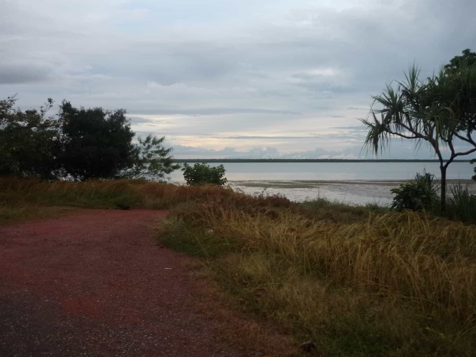
Cape York Peninsula is enormous, and most visiting anglers fish from a handful of bases where there are fuel, supplies, boat ramps and accommodation. Each base gives access to very different water. On the western side, rivers drain the flat savanna into the shallow Gulf of Carpentaria. On the eastern side, steeper country meets the Coral Sea and the northern Great Barrier Reef. At the top, the Peninsula runs into the islands and channels of the Torres Strait.
This hub introduces the main fishing areas and links to our detailed guides. We describe the geography, the kind of fishing each area offers and the practical things to know, but we do not publish GPS marks or "secret spots". The best local knowledge comes from tackle shops, guides and the people who live there, and the best way to keep these fisheries healthy is to fish them responsibly.
Our fishing spot guides
- Weipa: the Cape's largest town and the main base for the Gulf side, with Albatross Bay and the Mission, Embley and Hey rivers on its doorstep.
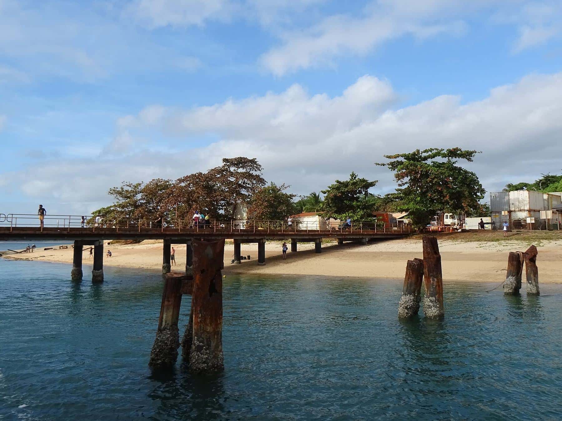
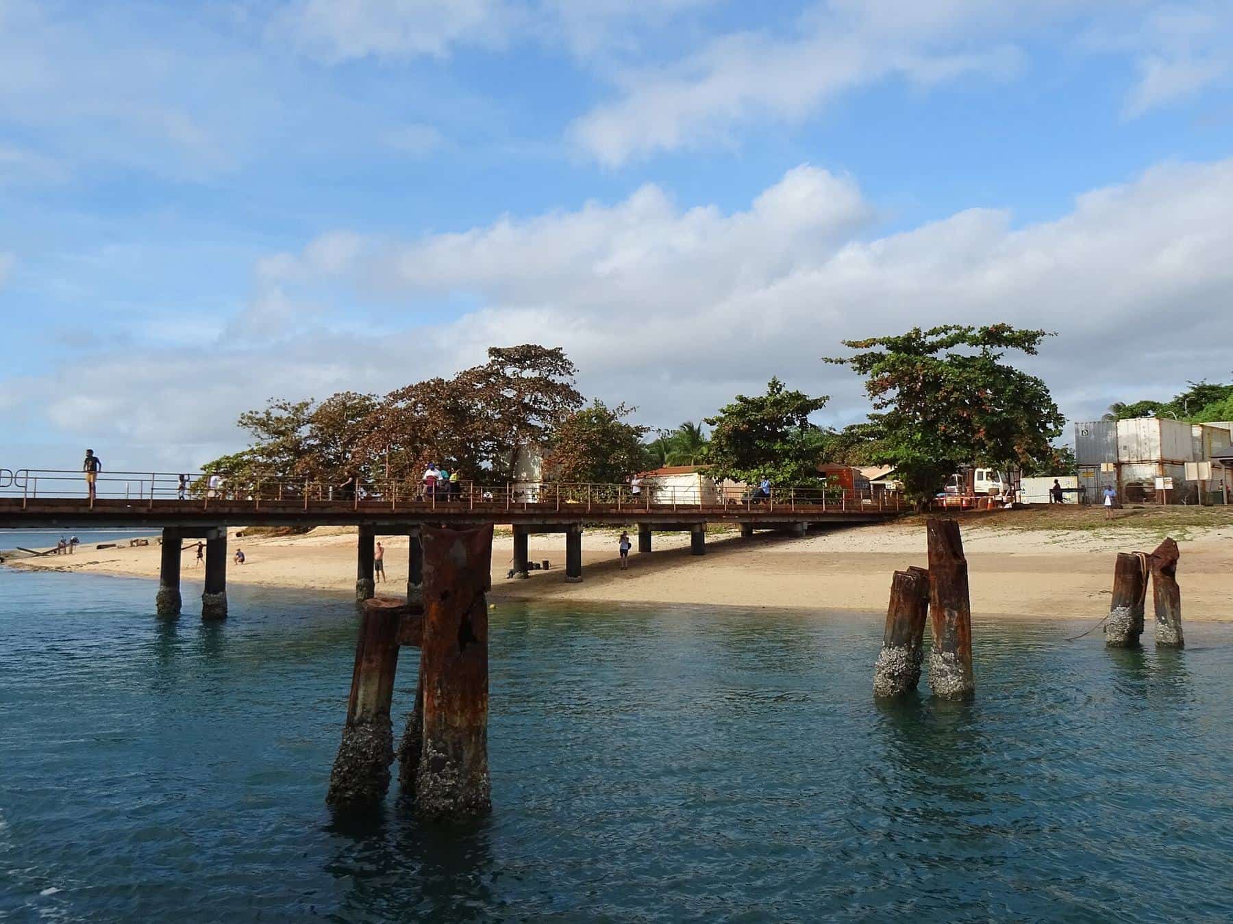
- Seisia and the tip: the most northerly mainland community in Queensland, with a jetty, a harbour and ferries to Thursday Island.
- Cooktown and the Endeavour River: the historic east coast town at the mouth of the Endeavour River, gateway to the Cape.
- Rivers of the western Cape: the Pennefather, Archer, Jardine and other rivers, some of the least developed waterways in Australia.
Gulf side or east coast?
The two coasts of the Peninsula fish very differently, and the rules differ too.
The Gulf of Carpentaria side is shallow, warm and tidal, with big rivers, mangrove-fringed creeks, mud flats and sand banks. Barramundi, threadfin salmon, mangrove jack, fingermark, queenfish and trevally are popular targets. In Queensland, the Gulf has its own barramundi closed season, from 7 October to 31 January, which is longer than the east coast closure. Some limits, such as for Spanish mackerel, are also different in Gulf waters.
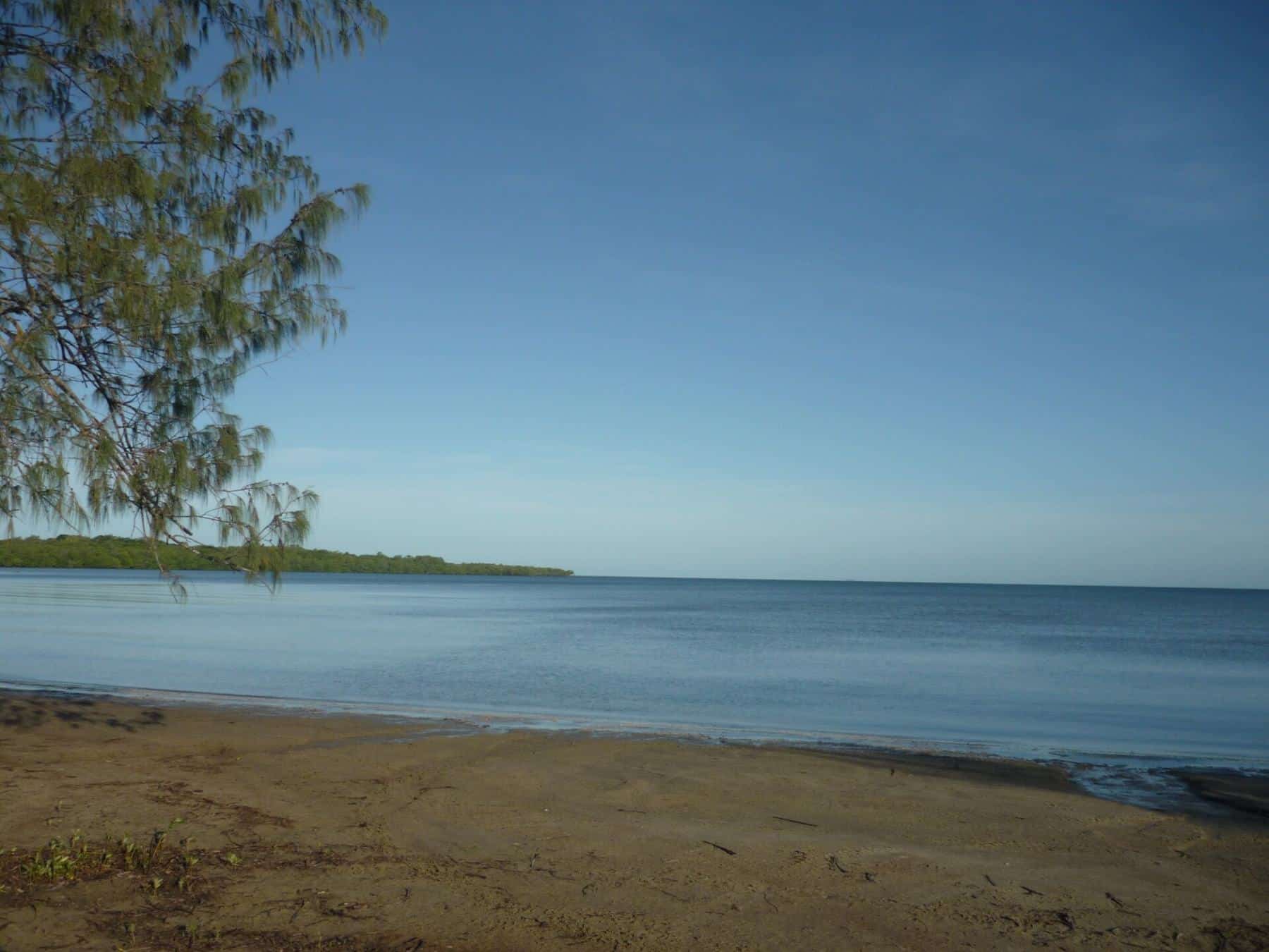
The east coast has steeper rivers and estuaries opening onto the Coral Sea, with fringing reefs, islands and the northern Great Barrier Reef offshore. Reef fish, pelagics and estuary species are all on the menu. The east coast barramundi closed season runs from 1 November to 31 January. East coast waters are within the Great Barrier Reef Marine Park, where zoning rules decide where fishing is allowed.
Types of water
Estuaries and tidal rivers
The estuaries are the heart of Cape York fishing. Snags, rock bars, drains and mangrove edges hold barramundi, mangrove jack and other predators, especially around tide changes. Fishing from a boat is the safest way to work these waters, and crocodiles are present throughout.
Inshore reefs, headlands and islands
Rocky headlands, wrecks and inshore reefs hold fingermark, trevally, queenfish and mackerel. On the east coast, check marine park zoning before you fish any reef or island.
Beaches and flats
Sand flats and beaches can produce queenfish, trevally and other species, but standing in or near the water is dangerous in crocodile country. Fish from safe positions and stay at least 5 metres back from the water's edge, as the Queensland Government advises.
Freshwater lagoons and upper rivers
Inland lagoons and the upper reaches of rivers hold barramundi and other freshwater species. Many are on national park or Aboriginal land, and access rules apply. Freshwater crocodiles and estuarine crocodiles can both be present.
Offshore
Offshore fishing for pelagics and reef species requires a suitable vessel, safety equipment and experience with tropical weather. Many visitors use a local charter for offshore trips.
Access and permission
Much of Cape York is Aboriginal land, national park, conservation land or pastoral lease. Access to some areas requires permits or permission from Traditional Owners, land councils or local councils, and camping is often restricted to designated areas. Respect closed areas, signs and gates, and ask before you go. National parks have their own camping permits and rules.
Boat ramps and facilities
The towns have boat ramps, fuel and supplies, but services are limited, prices are higher than in southern cities, and opening hours can be short. Carry spares for your boat and vehicle, and plan fuel carefully. Check ramp conditions locally: some ramps are tidal or affected by sand build-up.
Charters and guides
Guided fishing is available from several Cape York bases, from day trips to multi-day packages. A guide can save you days of exploring and gives you access to local knowledge, boats suited to the conditions and safety equipment. We do not recommend particular operators. Before booking, check reviews, what is included, safety arrangements and whether the operator works within the relevant permits.
Before you fish a new spot
0 of 6 done
Ticks are saved in this browser only.
Related reading
Before choosing your base, read getting to Cape York and use the season checker on our home page.
Guides in this section
Fishing spots
Fishing Weipa
A guide to fishing from Weipa on Cape York: Albatross Bay, the Mission, Embley and Hey rivers, seasons, the town's facilities, rules and crocodile safety.
Read · 5 min
Fishing spots
Seisia and the tip of Cape York
Fishing at Seisia and the tip of Cape York: the jetty and harbour, the Jardine River, Torres Strait waters, rules and croc safety.
Read · 5 min
Fishing spots
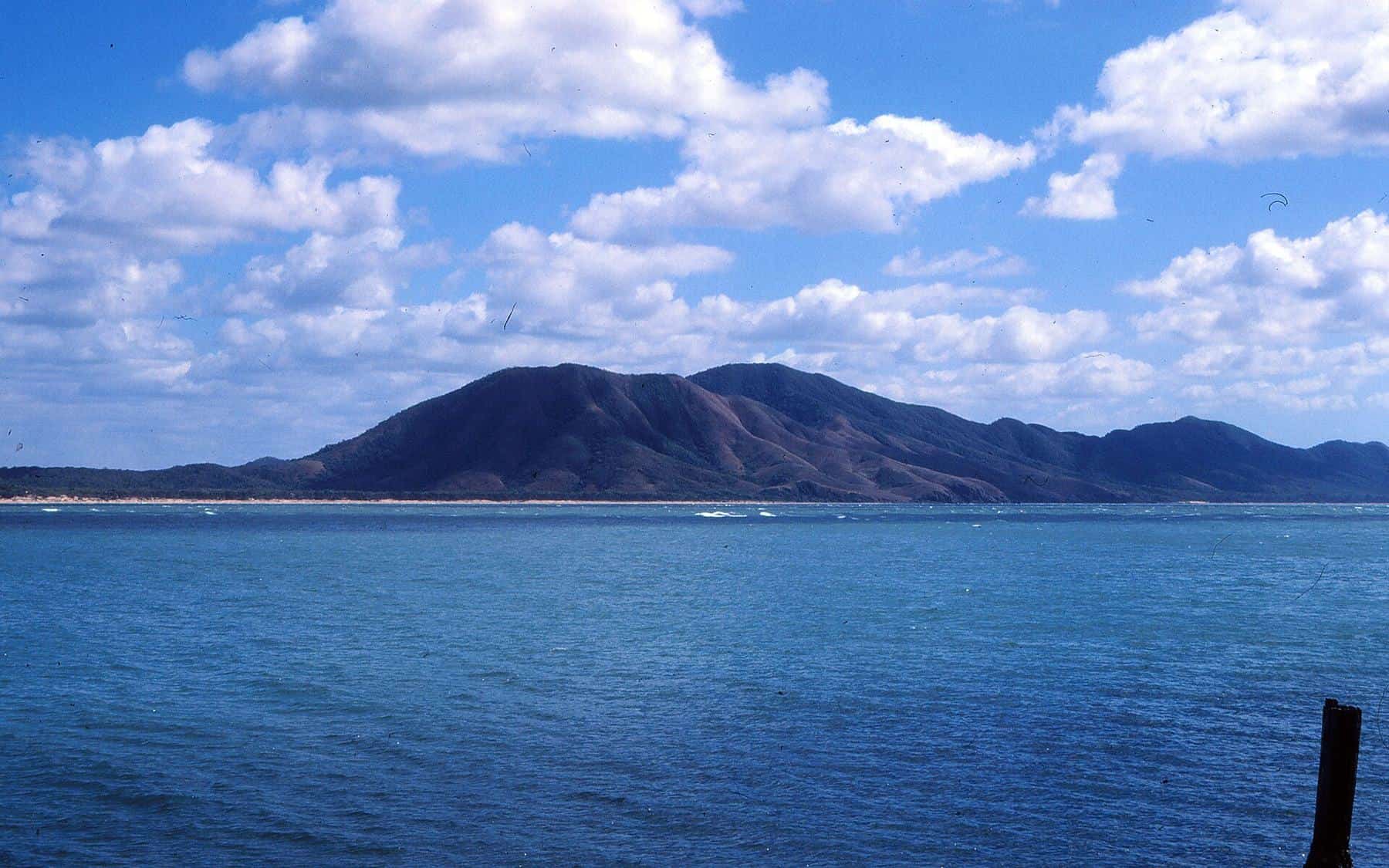
Cooktown and the Endeavour River
A visitor's guide to fishing Cooktown and the Endeavour River on Cape York's east coast: history, the river and estuary, reef rules, seasons and croc safety.
Read · 5 min
Fishing spots
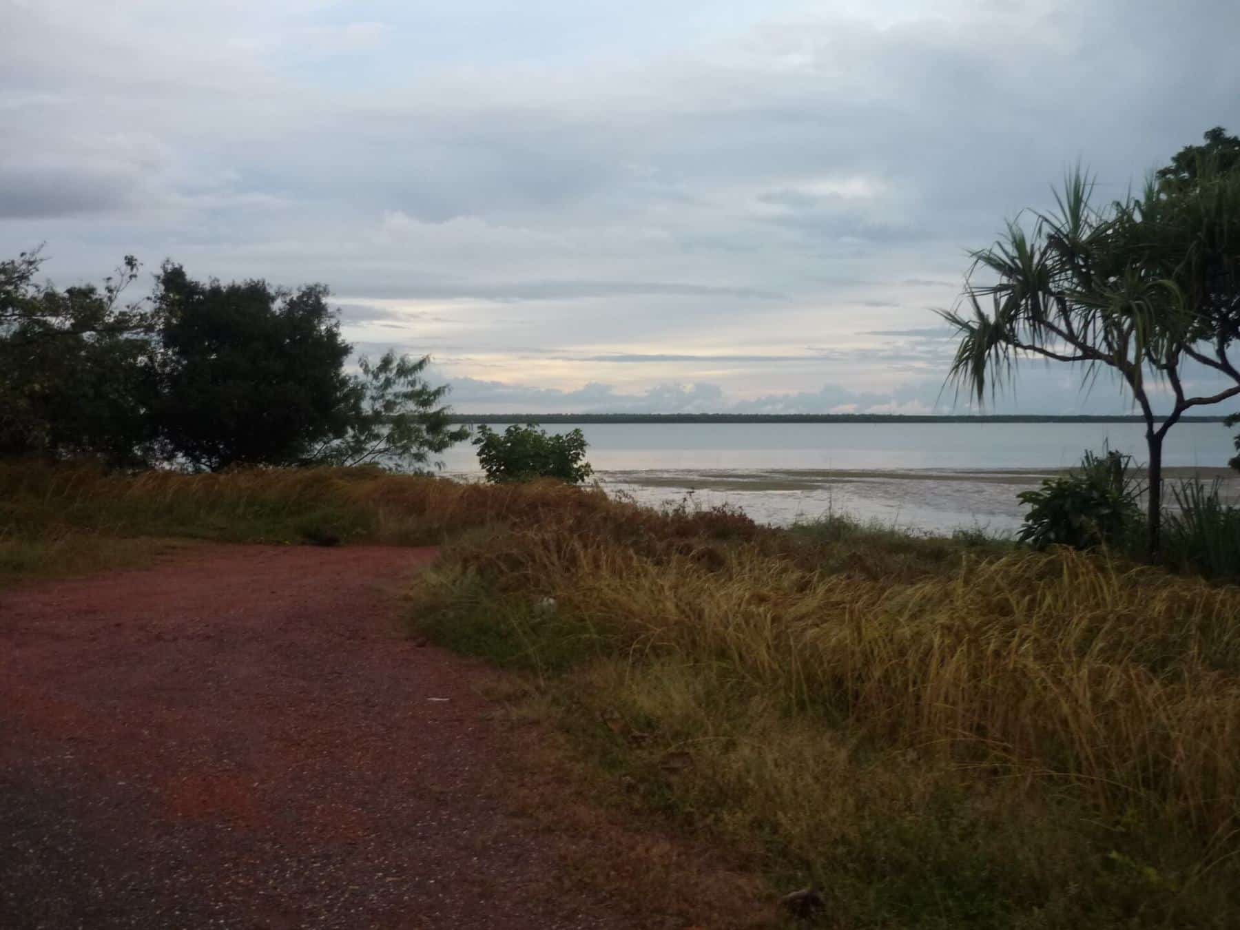
Rivers of the western Cape
Fishing the big rivers of western Cape York: the Embley, Mission, Pennefather, Archer and Jardine, with seasons, access, permits and croc safety.
Read · 5 min
Frequently asked questions
Where is the best place to fish on Cape York?
It depends on what you want. Weipa is the most popular base for Gulf of Carpentaria estuary and inshore fishing. Seisia gives access to waters at the very top of Australia. Cooktown is the gateway to east coast estuaries and the northern Great Barrier Reef.
Can I launch my own boat on Cape York?
Yes, there are boat ramps at towns such as Weipa, Seisia and Cooktown. Check access and conditions locally, and be Crocwise at ramps and keep your boat or trailer between you and the water.
Can I fish anywhere along the rivers?
No. Much of the Peninsula is Aboriginal land, national park or pastoral lease, and access may need permission or permits. Marine park zoning also applies on the east coast. Check before you fish.
Do I need a boat to fish Cape York?
A boat opens up far more water, but there is land-based fishing from jetties and some shorelines. Remember that crocodiles make standing at the water's edge dangerous, so choose safe, elevated spots and stay well back.
Are there fishing charters on Cape York?
Yes, a number of businesses offer guided fishing from bases such as Weipa, Seisia and Cooktown. We do not recommend particular operators. Check reviews, licences and safety arrangements before booking.
Sources and further reading
Facts on this page were checked against these primary and official sources. Conditions change — confirm before you travel or buy.
- Weipa, Queensland — Wikipedia
- Seisia, Queensland — Wikipedia
- Cooktown, Queensland — Wikipedia
- Albatross Bay — Wikipedia
- Be Crocwise — Queensland Government
- Zoning — Great Barrier Reef Marine Park Authority